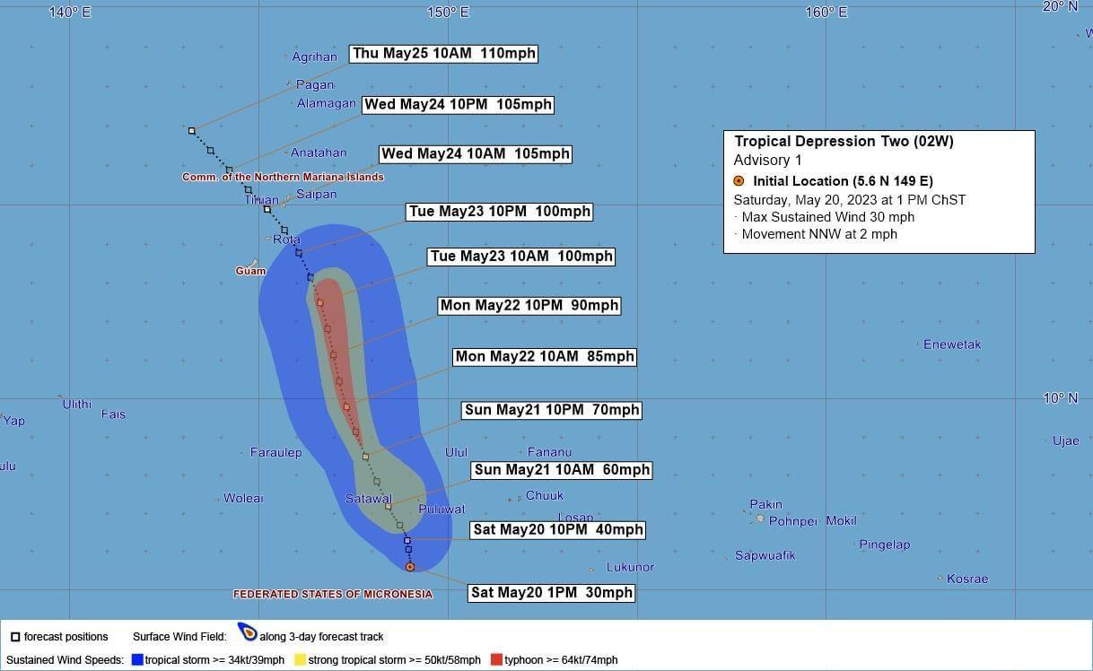
Invest 97W has organized into Tropical Depression 02W, is heading to dead center of the Mariana Islands’s main islands, and currently is forecast to become a significant typhoon, when it comes through Tuesday.
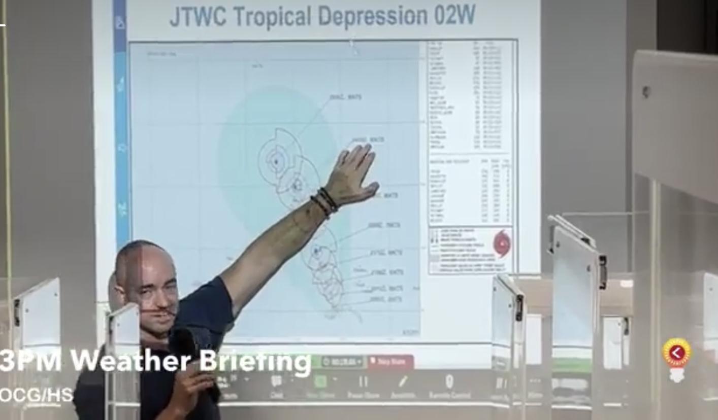
U.S. National Weather Service Guam meteorologist Landon Aydlett provided this latest information on the storm at a 3 p.m. briefing inside Guam’s emergency operations center.
“At about 1 p.m., our forecast track was favoring passage right between Rota and Tinian islands as a 90-knot typhoon,” Mr. Aydlett said. “That’s just shy of a category 3 typhoon. This may happen around Tuesday. That’s a possibility. This is just a forecast … This track will shift little by little. This is typically how typhoon forecasts operate. This is the best available forecast at this time.”
A category 3 typhoon, according to the National Weather Service, is a typhoon that brings winds between 111 to 129 miles per hour (mph). “Devastating damage will occur,” according to the NWS information on its website.
“This could be a near miss for all the islands or yet, a direct hit for any one of the islands: the Marianas remain very much in the crosshairs of this system,” Mr. Aydlett said.
The forecasts will be updated every six hours, as the storm progresses and comes closer to the Mariana Islands.
Tropical Depression 02W eventually will become a “tropical storm tonight or tomorrow morning, then becoming a typhoon Monday.”
Information from Guam Civil Defense:
A typhoon watch is now in effect for Guam, Rota, Tinian, and Saipan. A typhoon watch means that typhoon conditions are possible within the next 48 hours. As of 1 p.m., Tropical Depression 02W was located near 5.6 degrees north latitude and 149.0 degrees east longitude. This was about 610 miles south-southeast of Guam, moving west-northwest, with 30 mph winds.
Latest guidance indicates tropical storm force winds of 34 to 63 knots are possible early Tuesday morning but there is the increasing likelihood TD 02W could pass through the Marianas as a typhoon. If TD 02W moves faster than expected, this could result in conditions deteriorating as early as Monday afternoon.
Prepare Now
The community is advised to take the following preparedness actions this weekend:
- Those living in flood-prone areas should take action; clear drainage areas and unblock storm drains to minimize flooding;
- Clear loose debris around your yard and store any items, such as tents and canopies, that may become airborne with heavy winds, before inclement weather arrives;
- Stay up to date with the latest information. The system track or intensity may change, and advisories may be issued;
- Locate or prepare your emergency preparedness kits for your household;
- Secure important documents such as birth certificates, tax papers, and insurance documents, and keep copies in a water-proof bag;
- Gas your vehicles and get fuel for your generators;
- Be prepared to take action if shutters are warranted;
- In COR 3, residents are asked to secure loose items in their yard including lawn furniture, and barbeque grills and trash cans.