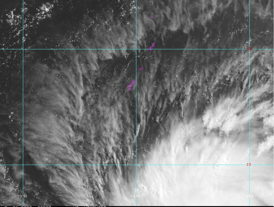
Tropical Storm Mawar is “wiggling,” has shifted south, and now is forecast to pass between Guam and Rota as a typhoon some time Wednesday.
This is according to National Weather Service meteorologist Landon Aydlett, whose agency briefed Guam’s mayors around 10 a.m., ChST, Sunday, May 21, 2023.
This forecast, according to Mr. Aydlett still is “subject to little shifts and wiggles in the coming days. Right now, [maximum] sustained [winds are] at 50 miles per hour.”
Following the briefing, Inarajan Mayor Tony Chargualaf provided his residents with information coming out of that briefing.
Mr. Chargualaf wrote to the residents of Inarajan:
“Hafa Adai Inalåhan. I just finished sitting in on a Heavy Weather Briefing and would like to share some information.
“Tropical storm Mawar is about 570 miles Southeast of Guam. It is expected that we will begin to see some effects of the storm on Tuesday with it peaking around Wednesday and then subsiding by Thursday.
“It was originally tracking to pass between Rota and Tinian but slightly shifted to now go between Rota and Guam. Guam remains in the ‘CONE OF UNCERTAINTY.’
“While it is still in the Tropical Storm state, it is expected to become a Typhoon with winds up to 100 miles per hour as it makes its closest point of approach to our area.
“We are asking that you begin your preparatory plans should the storm do a direct hit. Of course we are hoping to be spared but since we still have time, I encourage everyone to begin now. Today will be fine in terms of parties and good weather as well as tomorrow. The Governor has mentioned that we may go to COR2 (Condition of Readiness 2) some time tomorrow and immediately thereafter, the shelter which is Inalåhan Middle School will be opened. Should you need a shelter, please call our office tomorrow so we can get a list going.
“This tropical storm is still evolving and we could still see changes in exact forecast conditions in the coming days; therefore, stay up to date on all the latest weather forecasts in the coming days. We will provide any updates as they are made available. Having the information early should allow for us to be as prepared as we possibly can.”


1 Comments
Scott O’Brien
05/21/2023 at 12:41 PM
App is helpful