By Barbara Brown
Weather experts with the National Weather Service Guam office as of Saturday (September 7, 2024) afternoon say it’s becoming more likely Invest 95W will pass through somewhere in the Marianas next week as a “weaker system” as opposed to a strong typhoon. Landon Aydlett, NWS chief meteorologist, Saturday morning emphasized that this information, along with other crucial data about the system brewing hundreds of miles southeast of Guam, Rota, Tinian, and Saipan can change quickly. It is important, therefore, that residents of the Marianas continue to keep up to date with information sourced from the NWS Guam office.
Here is the relevant portion of the NWS Guam Saturday afternoon (4:45 p.m.) update:
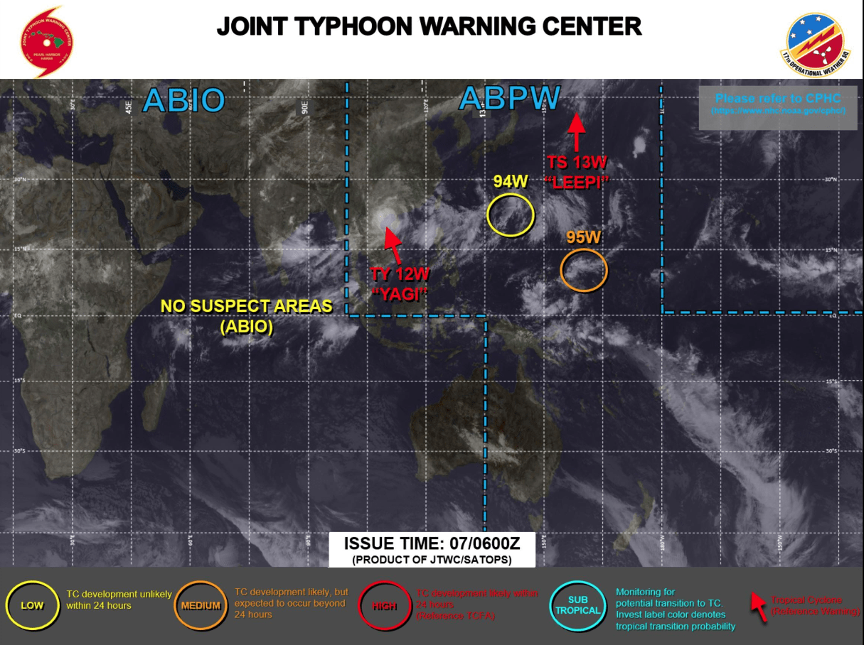
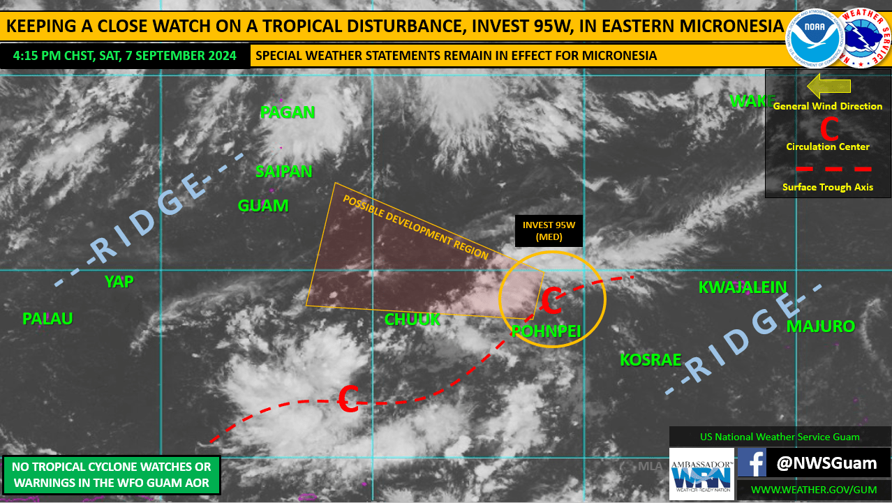
A tropical disturbance, Invest 95W, continues a slow westward trek this afternoon, now situated just north of Pohnpei near 8.5N159E. Development of this disorganized system has been sluggish, at best, over the last 24 hours. The Joint Typhoon Warning Center (JTWC) states in their 4:00 PM ChST bulletin that 95W is depicted as a poorly organized tropical wave embedded within easterly flow with no discernible low-level circulation center.
There are signs of fragmented low-level curved banding over the northern semicircle of the tropical wave. Current environmental conditions are favorable with warm sea surface temperatures, low vertical wind shear and an upper- level anticyclone. Global models still indicate development between Sunday afternoon and Monday night. Therefore, the JTWC has upgraded 95W to “MED” for development. This means that development into a tropical cyclone (tropical depression) is likely, but expected to occur beyond 24 hours.
GUAM/CNMI: Uncertainty remains, regarding the potential track and intensification of 95W the next few days. However, as 95W progresses westward, the area of possible passage through the Marianas is narrowing down. Forecast models generally favor a passage through the Marianas ranging from just south of Guam to as far north as Saipan, sometime between late Tuesday and early Thursday. Due to the slow development of 95W, the time to develop is shrinking, with the likelihood of a weaker system pushing through the region becoming more favored than a stronger system. Forecast trends still favor a west-northwestward track of a weaker system this weekend before gaining latitude and strengthening by midweek. Folks across the Marianas should keep a close watch on the latest forecasts and information from the National Weather Service on Guam, and from your local Guam and CNMI Homeland Security Offices, through the weekend. It remains a strong possibility that a tropical cyclone, of some intensity, could push through the Marianas next week. A Hydrologic Outlook is now in effect for Guam and the CNMI.


