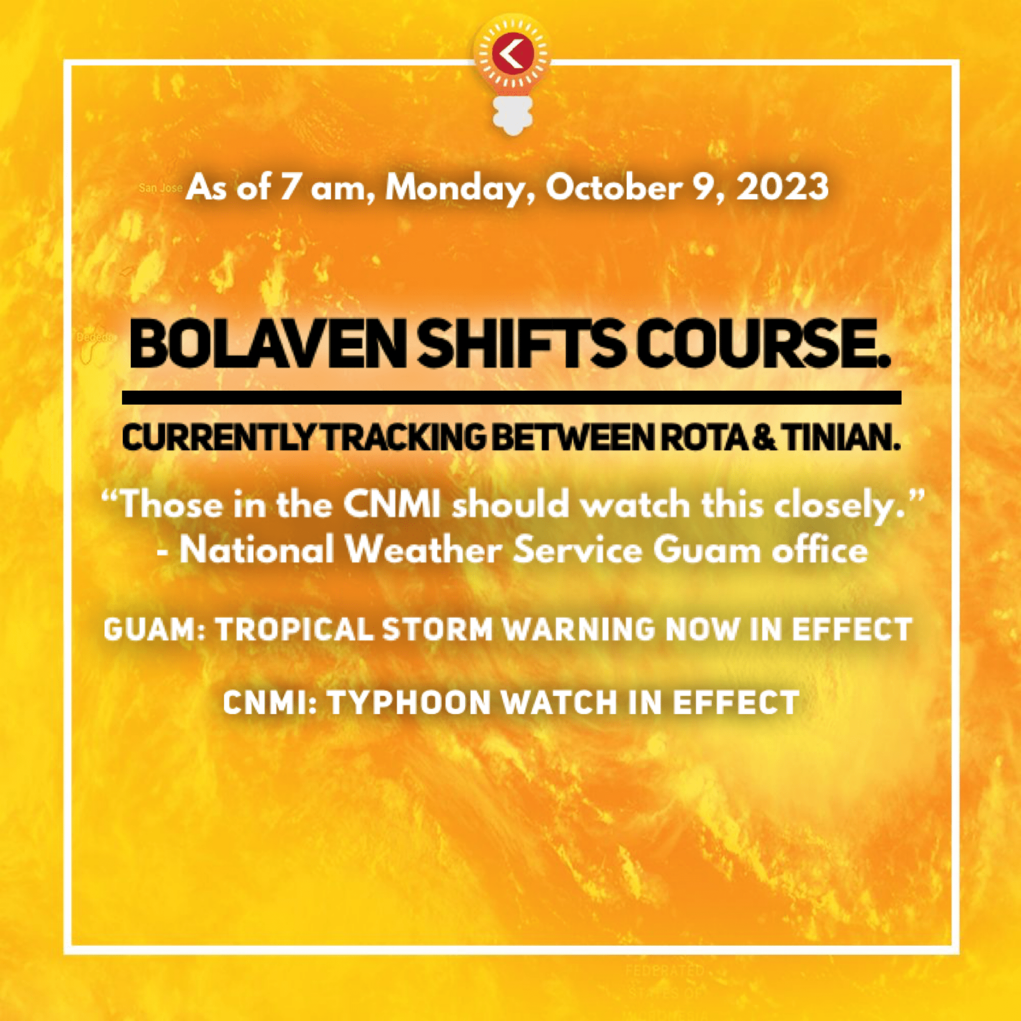
From the National Weather Service:
Tropical Storm Bolaven gained strength overnight as its overall form and existence continues to improve. At 7:00 AM ChST, Bolaven was centered 465 miles east-southeast of Guam and 465 miles southeast of Saipan near 10.9N 151.1E. It was moving northwest at 8 mph with maximum sustained winds now at 60 mph. Current forecasts continue to favor steady intensification over the next 24 hours. About that time and beyond, rapid intensification is possible. That would be around the time of approach and passage through the Mariana Islands. As currently forecast, Bolaven maintains a track through the Marianas between Rota and Tinian late Tuesday night, likely as a Category-1 (74-95 mph sustained winds) or possibly a Category-2 (96-110 mph sustained winds) typhoon. All islands will feel the passage of Bolaven, but any one, or two, islands could face a direct hit (maximum intensity). Little wiggles matter. The current track and intensity forecasts will continue to shift gradually in the next day. Stay up to date with the latest forecasts and trends from NWS Guam.
Early Tuesday through Wednesday: A Tropical Storm Warning is now in effect for Guam. This means that damaging winds are expected on Guam within 24 hours. Current onset of damaging, tropical storm force winds of 39 mph sustained, is forecast to be around late Tuesday. A Typhoon Watch remains in effect for Guam, Rota, Tinian and Saipan. This means that typhoon force winds are possible, with damaging winds possible, now just outside 24 hours from now. A TS Warning and a TY Watch for Guam means that tropical storm force conditions are expected, but there is that possibility for typhoon conditions on Guam, should there be any southward shift of the current track. Those in the CNMI should pay close attention to subsequent forecasts and trends. Rota, Tinian or Saipan could take a direct hit by a potentially typhoon-force Bolaven.


1 Comments
Russ Mason
10/09/2023 at 10:59 AM
I like the part that stated, “Little wiggles matter.”
That’s what I keep telling her!