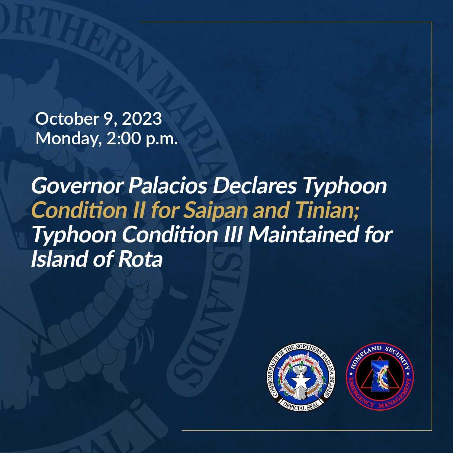
As of 2:00 pm October 9, 2023, Governor Arnold I. Palacios, in consultation with the CNMI Homeland Security and Emergency Management (HSEM) and the National Weather Service (NWS Guam) Weather Forecast Office (WFO), has upgraded the storm declaration for Saipan and Tinian from Typhoon Condition III to Typhoon Condition II. Typhoon Condition III is maintained for the island of Rota.
Typhoon Condition 2 means that damaging winds are expected within 24 hours, while Typhoon Condition 3 means damaging winds are possible within 48 hours.
As of 1:00 pm, NWS Guam upgraded the Typhoon Watch for Tinian and Saipan to a Typhoon Warning. This means that typhoon winds of 74 mph are expected, with damaging winds of 39 mph arriving within 24 hours. For Rota, a Tropical Storm Warning is now in effect while the Typhoon Watch remains in effect. This means that damaging winds of 39 mph are expected within 24 hours. The ongoing Typhoon Watch for Rota indicates that typhoon conditions are possible if the track of TS Bolaven shifts southward. A Tropical Storm Watch is also in effect for Agrihan, Pagan and Alamagan Islands. This means that damaging winds of 39 mph are possible within 48 hours.
NWS Guam has indicated that while Tropical Storm Bolaven is categorized as a tropical storm at this time, the system will likely strengthen to become a typhoon at the time of its passage through the Marianas. The storm continues to organize and intensify, and a rapid rate of intensification is still possible. Residents of Tinian and Saipan should begin seeing damaging, tropical storm force winds of 39 mph beginning Tuesday afternoon. The time of passage, according to NWS, is estimated to be on Tuesday evening into Wednesday morning. Residents of Saipan and Tinian are asked to prepare for Category 2 Typhoon, which will bring 96-110 mph sustained winds with gusts up to 139 mph. As currently forecast, TS Bolaven will pass between Rota and Tinian late Tuesday evening. Any northward shift would bring maximum winds to Tinian and/or Saipan, possibly as a direct hit.
The storm’s movement and strength, resource allocation, and personnel resources were discussed during this morning’s CNMI Multi-Agency Coordination (MAC) Team meeting. The CNMI MAC Team, composed of government agencies and other organizations including the American Red Cross, met earlier at 10:00 a.m. for a heavy weather briefing provided by the NWS.
The following updates incorporates the latest information from about the different emergency management resources, programs, and activities:
Prepare for Typhoon Strength Winds
In preparation for anticipated tropical storm and typhoon-strength winds, Governor Palacios, Lt. Governor David M. Apatang, and CNMI HSEM advise CNMI residents to take the following preparatory measures:
- Gas vehicles and obtain fuel for your generators.
- Secure loose debris and belongings around your household or yard.
- Those living in flood-prone areas should take action; clear drainage areas and unblock storm drains to minimize flooding.
- Secure important documents such as birth certificates, tax papers, and insurance documents, and keep copies in a weather-proof bag.
- Prepare to board up windows or close shutters.
- Have a prepared emergency preparedness kit with first-aid kits, batteries, flashlights, toiletries, and a portable stove in your household.
- Stock up on food and water, as appropriate, for your household.
- Stay up to date with the latest information from the National Weather Service and the CNMI Office of Homeland Security and Emergency Management and other official sources.
Mental Health Matters
Given the anxiety and stress that the storm (and preparing for the storm) may bring, everyone is also asked to be mindful of the stress, anxiety, and other emotional/mental impacts that may affect our family, friends, and coworkers. Make time to:
- Eat nutritious meals
- Drink plenty of water
- Get exercise
- Get abundant rest
- Value yourself and those around you. Set aside time for a regular routine of deep breathing or other stress reduction methods to alleviate your feelings of anxiety
- Check-in on your family and friends periodically and offer support and assistance
- Quiet your mind
- Set realistic goals and actions for preparation activities before, during, and after the storm
- Avoid alcohol and drugs
- Obtain professional help when you need it
Stay Informed
The Office of the Governor advises the community to keep a close watch on official updates relating to weather forecasts and stay informed on the latest statements and advisories which will be available through official channels (listed below) and media partners.
Again, this is an evolving situation – the direction, speed, intensification rate, and other attributes of the storm may change over the next few hours. The CNMI Office of the Governor and CNMI HSEM will be monitoring the movement of the intensifying storm, continue to consult with the National Weather Service and other agencies, and continue to provide updates when available and when appropriate.
For additional information, visit the following:
- CNMI EOC State Warning Point Facebook: https://www.facebook.com/cnmieocswp/
- CNMI Office of the Governor Facebook: https://www.facebook.com/cnmigovernor
- NWS Website: https://www.weather.gov/gum/
- NWS Facebook: https://www.facebook.com/NWSGuam/


